
Walk a Waukegan Street Record
A street-by-street search works best as a chain. Normalize the address, find its parcel, and then move into names and filed documents. Lake County uses a parcel identification number, or PIN, as the stable link between maps and property records. The city street map helps with spelling, direction, ward, and block context, but does not identify a resident.
- Check the full number, direction, street name, suffix, unit, city, and ZIP.
- Geocode the address in the Lake County Tax Parcel Viewer and capture the parcel polygon and PIN.
- Search the assessor by PIN or address. Use one search path and record the assessment date.
- Carry the PIN, document number, or legal description into the Recording Division index.
- Use permit reports, ward maps, and a dated criss-cross directory only for the role and year stated.
This Waukegan street directory method moves from a place to a record instead of guessing from a name. A parcel owner, deed party, voter, and directory occupant are not interchangeable.
Search Waukegan Streets by Address
The Lake County Property Tax Information search accepts a parcel, owner, billing name, or address. The form says to use only one route per query. For an address, enter the number and street first. Add a direction, suffix, unit, city, or ZIP only when needed. During research, the portal displayed data current as of August 21, 2026; that date changes.
| Control | Format | Street use |
|---|---|---|
| Address No | Up to 6 characters | House number |
| Direction | E, N, NE, NW, S, SE, SW, W | Separates directional forms |
| Street | Up to 20 characters | Main name field |
| Suffix / Suffix 2 | Separate controls | Distinguishes road type |
| Unit | Up to 3 characters | Narrows unit records |
| City / ZIP | Dropdown and text | Checks two geographies |
The advanced form adds municipality, township, ZIP, sale date, year built, land use, school district, and assessment neighborhood. It also supports a second condition. Never say that someone lives at a situs address only because an assessment record names an owner or billing party.
The live Lake County property screen shows how its Waukegan street fields are separated.
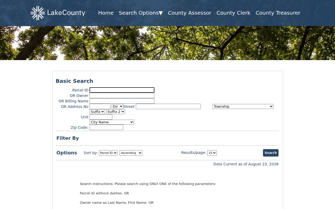
Preserving direction, suffix, unit, municipality, and ZIP reduces false matches.
Map Waukegan Streets and Parcels
The Lake County Tax Parcel Viewer supplies geometry. Its geocoder returns address, city, region, postal code, ZIP+4, and matched-address fields. Map Select draws a point, rectangle, line, circle, or polygon across parcels, lots, condominiums, and subdivisions. Layers include road centerlines, address labels, rights-of-way, parcel dimensions, historic tax maps, and plats.
The inspected parcel layer returned a PIN-like Name, document number, parcel type, condominium flag, and geometry, but no owner or mailing field. Use it to locate the correct lot, then move the PIN to the assessor and recorder. The viewer is not a Waukegan resident list, and Lake County warns that its map is not a survey.
- Parcel
- A mapped unit of land identified by a PIN.
- Situs address
- The property location, separate from a billing address.
- Plat
- A recorded map defining lots, blocks, subdivisions, or condominiums.
- Criss-cross directory
- A dated directory arranged by street or phone rather than just surname.
Note: Geometry can resolve which lot fronts a road, but it cannot establish who is physically present there.
Waukegan Street Directory Sources
No roll answers every address question. This coverage keeps owners, instrument parties, permit subjects, voters, and historical occupants in their proper roles.
| Address record | Keeper | What it shows | Access |
|---|---|---|---|
| Assessment roll | Lake County | Owner/billing labels, parcel, township, ZIP, traits | Basic or advanced portal |
| Parcel map | Lake County GIS | PIN, geometry, document clue, lots, roads | Viewer and open data |
| Deeds and plats | Recording Division | Parties, document, date, legal description | Online, books, terminals, copies |
| Permits | Waukegan Building and Code | Address-linked permit or dated report | MaintStar and reports |
| Election record | Illinois / Lake County | Restricted registration confirmation | Official lookup and lawful inspection |
| Old directories | WPL / Historical Society | Dated occupant, phone, street, or map clue | Library and appointment |
A PIN makes the cleanest join among assessor, GIS, and recorder. A voter or directory entry supports a dated registration or publication claim, not a full current household list.
Follow Waukegan Street Deeds
The Lake County land-record portal searches names, document numbers, book/page, parcel, township, property address, remarks, and legal descriptions. Its ordinary configured range starts in 1980. Historical Record and Online Index Books carry the pre-1980 trail. A grantor transfers an interest and a grantee receives one. Neither role proves occupancy.
PIN searches can miss instruments filed without a PIN. When an address fails, try subdivision legal, condominium legal, township legal, book/page, or document number. Free public terminals are at the Recording Division, 18 N County Street, sixth floor. Copies may also be ordered by mail, fax, phone, or email. Staff help start a search but do not conduct title work.
The Recording Division quick search displays current and historical gateways.
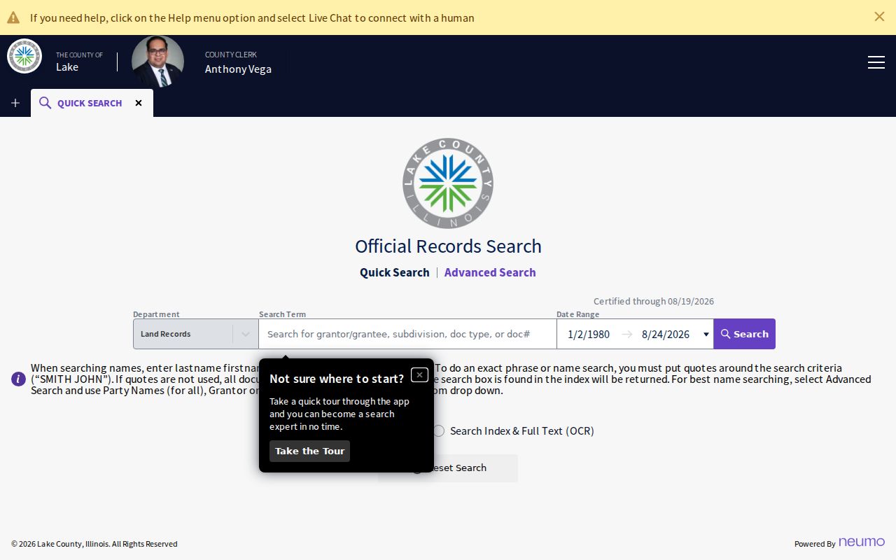
An index is a lead. A purchased or certified document is stronger evidence for the instrument.
Waukegan Streets in Permit Reports
The Waukegan Building Permits page routes searches to MaintStar, while the building-report archive lists monthly and annual reports through 2001. These sources add a dated work trail. Permit data can support a project type, issue date, contractor, parcel, or owner label only when a live result shows it. It does not prove who lived there.
The Waukegan MaintStar portal is an address-keyed city source.
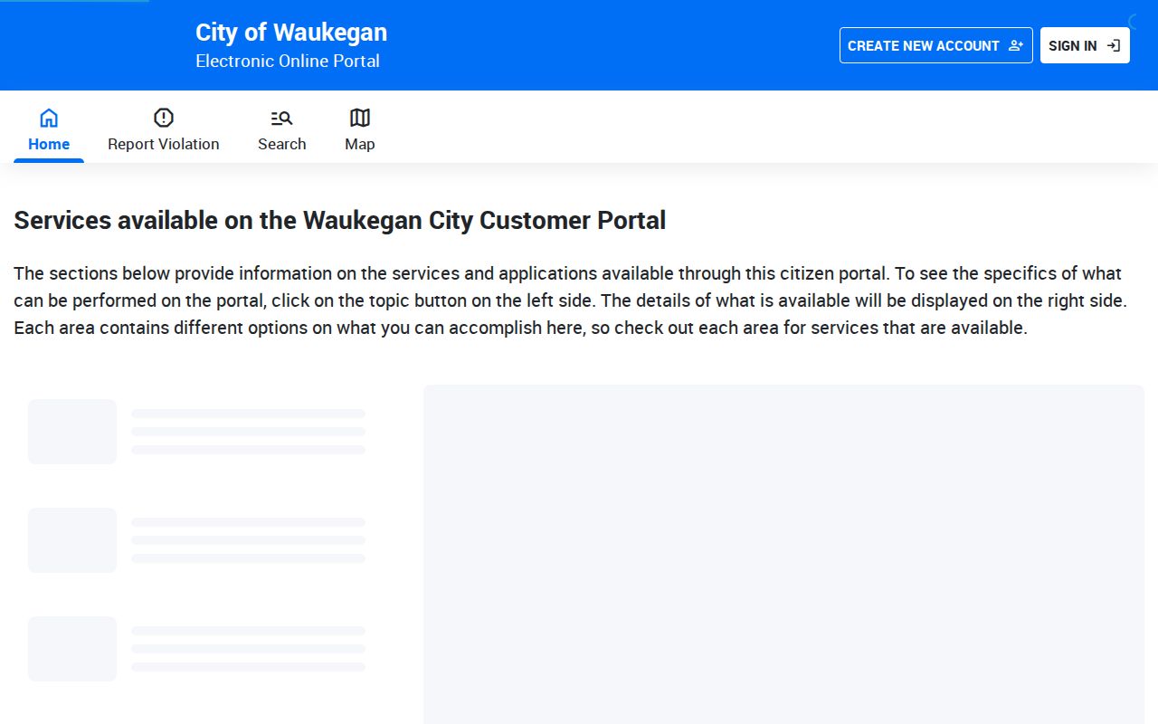
Save its record number and date beside the assessor PIN. If no result appears, contact Building and Code or file a narrow request through the city Public Records Center. State the address, record type, dates, and format. The request itself enters the public archive, so omit needless personal detail.
Waukegan Streets Cross Townships
Waukegan spans six townships: Waukegan, Warren, Benton, Libertyville, Shields, and Newport. It also has nine wards. A street may sit inside a postal city, municipality, township, ward, ZIP, parcel, and subdivision at once. Each boundary serves a different office.
Use Waukegan city maps for street, ward, and zoning PDFs. Confirm municipality and township in GIS or the assessor. A Waukegan ZIP alone does not place a parcel inside the city. This comparison matters at edge addresses and where one street extends into nearby delivery areas.
Note: Keep the map edition and assessment date because ward lines, parcels, and certified values change on separate schedules.
Waukegan Street Numbers Changed
The official house-history guide documents a 1922-era change from 713 N. Genesee to 614 N. Genesee. It is one verified example, not a citywide formula. It explains why an exact old number can fail in a modern Waukegan street directory.
Bridge a change with the legal lot/block, PIN, adjacent numbers, atlas, Sanborn map, plat, and dated directory. Preserve old and new addresses as separate events. The town was called Little Fort until March 31, 1849, so early deeds and catalogs may use that name. Take only the volume year, page, printed role, and address needed for the street chain.
Waukegan Street Voter Limits
The Illinois voter lookup requires first name, last name, birth date, and five-digit ZIP before street number and name appear. It confirms a known person's registration, not an open by-street roster. Electronic Lake County voter data is restricted to qualifying committees and government entities for permitted uses.
A result reflects an election relationship at one point. It does not prove ownership or current presence. Election closures, moves, redistricting, inactive status, and the Address Confidentiality Program may affect what appears. Never reverse-engineer a protected address.
Waukegan Street Directory Limits
Property and map records do not list every occupant, family member, visitor, delivery recipient, or utility customer. The assessor labels assessment roles. The recorder identifies document parties. GIS plots land. Directories and voter records are dated and limited. A blank result means only that no match was located in that search.
Use official records for family history, estate matters, property research, civic context, or checking a seller's document trail. Keep the query narrow and date-stamped. A Waukegan street directory is never a live list of private people.
Build a worksheet as the search proceeds. Give each row a source, query, access date, address as entered, role, record number, and next action. If two systems spell the street in different ways, retain both. Mark a blank as “not located” instead of treating it as proof. A simple log distinguishes a true records gap from a spelling, date, boundary, or portal problem.
Access does not end online. Lake County offers recorder terminals and several copy-order channels. Waukegan Public Library and the Historical Society provide maps, newspapers, and directories. City and county offices accept focused requests for non-restricted records when no portal exists. FOIA is not a substitute for a certified deed or restricted record. Name the record, address, date range, and requested format.
Historic sources also require restraint. A Sanborn sheet shows a footprint or use on its publication date. An atlas gives another dated view of a lot and block. Compare both with the current PIN and legal description. A directory can name a past occupant and a permit can record later work, but neither alone proves present ownership or residence.
Lawful use. Use address records only for lawful personal research. Never use them to stalk, harass, threaten, or expose a protected person.